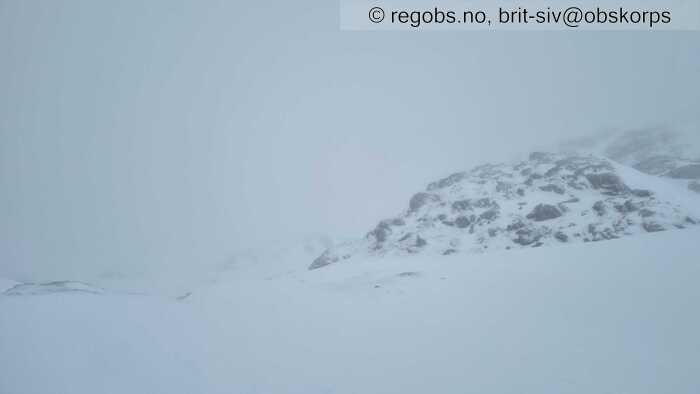
Image 1 of 6 Of: Weather Copyright: brit-siv@obskorps Comment: Grått, med lågt skydekke og tåke med yr.
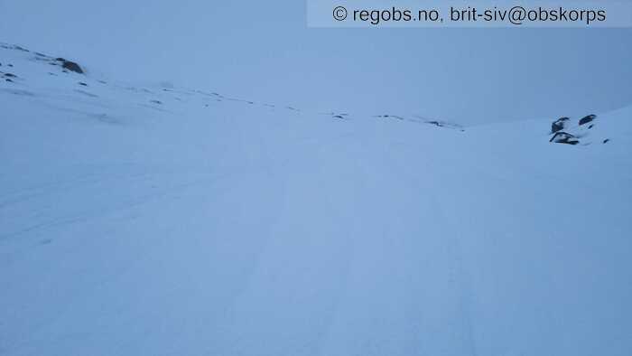
Image 2 of 6 Of: Snow Cover Copyright: brit-siv@obskorps Comment: Smelteriller i den våte snøoverflata
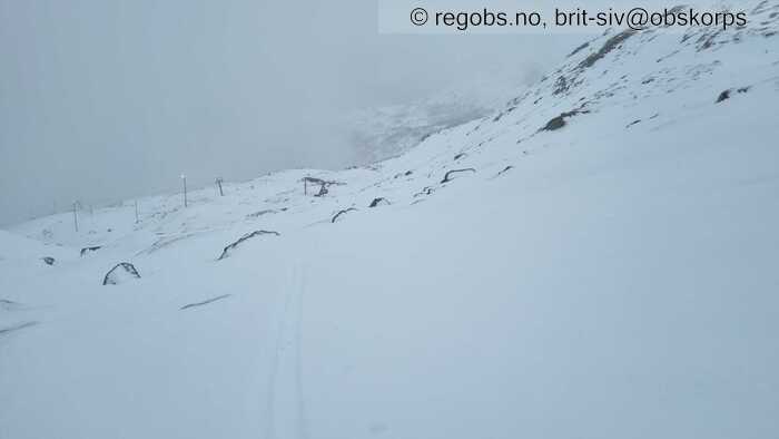
Image 3 of 6 Of: Snow Cover Copyright: brit-siv@obskorps
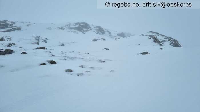
Image 4 of 6 Of: Snow Cover Copyright: brit-siv@obskorps Comment: Avblåste ryggar
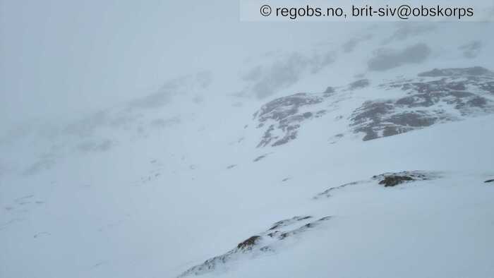
Image 5 of 6 Of: Snow Cover Copyright: brit-siv@obskorps
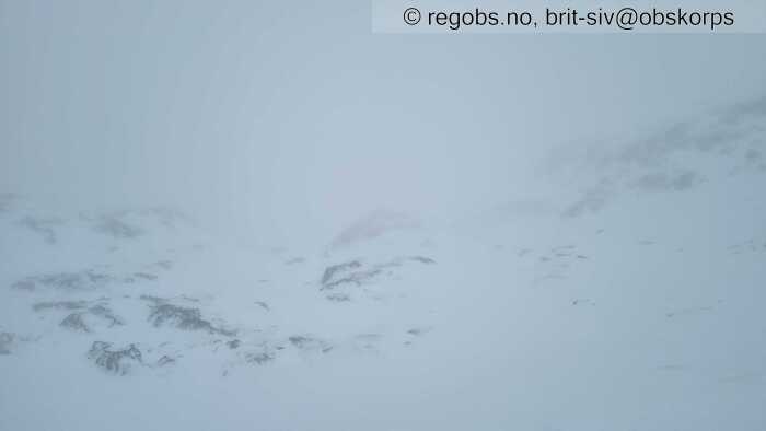
Image 6 of 6 Of: Weather Copyright: brit-siv@obskorps Comment: Dårleg sikt
Danger Sign
• Much water in the snow • Område: I dalen/fjorden. Skildring: Heile snødekket er gjennomfukta. Tendens til vannmetning i øvre del av snødekket
Weather
• Drizzle • 0 °C • 8 m/s from S ↑ • 100% clouds • Overgang til plussgrader og regn/yr fredag ettermiddag. Lågt skydekke og skoddeyr. Vind frå sørleg retning frå skoggrensa.
Snow Cover
• 100 cm • No snowdrift • 0 cm • Snow line at 0 masl • Wet loose snow • Wet • Snødekket er gjennomfukta etter mildvær med regn og yr siste døgnet. I nordvendt terreng som her, er det over skoggrensa for det meste underlag av skare med nokon cm våt nysnø oppå, sidan mykje av nysnøen som kom har vore flytta på av vinden. Enkelte leformasjonar med meir av nysnøen som no er våt og har tydelege smelteriller.
Snow Profile
• Plussgrader gjennom heile snødekket, +0.1 til 0,3 grader. • 6 Stratigraphy layers
Avalanche Problems
• Wet slab avalanche • Water pooling in/above snow layers • Within a meter • The overlying slab is soft. • Spontaneous release • 3 - Large • Few steep slopes N, NE, E, SE, S, NW between 1300 masl and 800 masl • Der det har vore flakdanningar i nysnøen siste dagar før mildværet
• Dry slab avalanche • Buried weak layer of new snow • Within half a meter • The weak layer collapses easily and clean (easy propagation). The overlying slab is soft. • Easy to trigger • 3 - Large • Some steep slopes N, NE, E, W, NW above 1300 masl • I dei høgastliggande områda der nedbøren fortsatt kjem som snø
Avalanche Danger Assessment
• Der det har vore flakdanningar i nysnøen frå dei siste dagane, kan det no gå våte flakskred når mildværet gjer snødekket vått. Over mildværsgrensa vil vind og nysnø gi ustabile nysnøflak som kan være lette å løyse ut. • Fortsatt mildvær og nedbør vil gi fare for våte skred under nysnøgrensa, og over mildværsgrensa vil nysnø og vind opprettholde skredproblemet med ustabile nysnøflak. • 3 Considerable • Forecast correct

